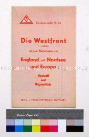
Kriegskarte
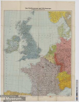
Karte des Nordseeraumes und Westeuropas mit Westwall und Maginotlinie
- Alternative title
-
Der Nordseeraum und Westeuropa mit Westwall und Maginot-Linie
- Location
-
Deutsches Historisches Museum, Berlin
- Inventory number
-
Do2 94/3461
- Measurements
-
Höhe x Breite: 106,5 x 85 cm
- Material/Technique
-
Papier, gedruckt
- Classification
-
Kartografie (Gattung)
- Subject (what)
-
Weltkrieg, 2.
Westfront
- Event
-
Herstellung
- (who)
-
Herausgeber: Verlagsanstalt List und Bressendorf
- (where)
-
Leipzig, Deutschland
- (when)
-
1940
- Rights
-
Deutsches Historisches Museum
- Last update
-
24.03.2023, 9:27 AM CET
Data provider
This object is provided by:
Stiftung Deutsches Historisches Museum. If you have any questions about the object, please contact the data provider.
Stiftung Deutsches Historisches Museum. If you have any questions about the object, please contact the data provider.
Object type
- Kriegskarte
Associated
- Herausgeber: Verlagsanstalt List und Bressendorf
Time of origin
- 1940
Other Objects (12)

Kriegs-Karte von Westeuropa mit Westwall und Maginot-Linie
Kriegskarte von Westeuropa mit Westwall und Maginot-Linie
Militär-stategische Karte von Westeuropa mit dem "Westwall" und der "Maginotlinie"
Der Nordseeraum und Westeuropa mit Westwall und Maginot-Linie

Westeuropa mit Westwall und Maginotlinie sowie Gesamtkarte "Das neue Europa"
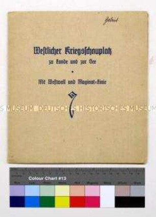
Westwall und Maginot-Linie
"Unsere Westgrenze mit Westwall und Maginotlinie"
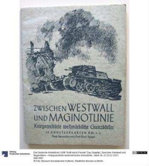
Zwischen Westwall und Maginotlinie – Kriegszerstörte westmärkische Grenzdörfer.
Karten vom Nordseeraum und Westraum.- Deutsch-französisches Grenzgebiet, Maginotlinie und Westwall
Militär-strategische Karte von westlichen Kriegsschauplatz mit Westwall und Maginot-Linie
Ausbildung an geeigneten Stellen des Westwalls und der Maginotlinie
Westwall, Maginot-Linie, Atlantikwall : Bunker- u. Festungsbau 1930 - 1945
Kriegs-Karte von Westeuropa mit Westwall und Maginot-Linie
Kriegskarte von Westeuropa mit Westwall und Maginot-Linie
Militär-stategische Karte von Westeuropa mit dem "Westwall" und der "Maginotlinie"
Der Nordseeraum und Westeuropa mit Westwall und Maginot-Linie
Westeuropa mit Westwall und Maginotlinie sowie Gesamtkarte "Das neue Europa"
Westwall und Maginot-Linie
"Unsere Westgrenze mit Westwall und Maginotlinie"
Zwischen Westwall und Maginotlinie – Kriegszerstörte westmärkische Grenzdörfer.
Karten vom Nordseeraum und Westraum.- Deutsch-französisches Grenzgebiet, Maginotlinie und Westwall
Militär-strategische Karte von westlichen Kriegsschauplatz mit Westwall und Maginot-Linie
Ausbildung an geeigneten Stellen des Westwalls und der Maginotlinie