Monografie
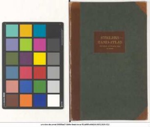
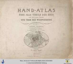
Hand-Atlas Über Alle Theile Der Erde Und Über Das Weltgebäude : Erste Ausgabe 1817 - Jubelausgabe 1867

- Alternative title
-
Adolf Stielers Hand-Atlas
- Location
-
Forschungsbibliothek Gotha -- SPA 2° 000015
- Extent
-
[87] gef. Bl., [1] Bl., 10 S., 2°
- Language
-
Deutsch
- Notes
-
Grenzen i.d.R. handkoloriert Am Beginn 2 kleinere Kt. von 1866 zusätzlich eingebunden: [1] Nord-Deutscher Bund [2] Preussen Und Der Nord-Deutsche Bund Karten
- Creator
- Contributor
- Published
-
Gotha : Justus Perthes , 1867
- Sponsorship
-
Deutsche ForschungsgemeinschaftThüringer Ministerium für Wirtschaft, Wissenschaft und Digitale Gesellschaft
- URN
-
urn:nbn:de:urmel-cfc31d55-5e30-43f4-b985-ee411aff65895-00011713-10
- PURL
- Last update
-
14.04.2025, 12:54 PM CEST
Data provider
This object is provided by:
Forschungsbibliothek Gotha der Universität Erfurt. If you have any questions about the object, please contact the data provider.
Forschungsbibliothek Gotha der Universität Erfurt. If you have any questions about the object, please contact the data provider.
Object type
- Monografie
Time of origin
- Gotha : Justus Perthes , 1867
Other Objects (12)
Handatlas Über Alle Theile Der Erde Und Über Das Weltgebäude
Hand-Atlas über alle Theile der Erde : nach dem neuesten Zustande und über das Weltgebäude
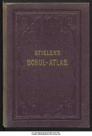
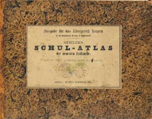
Ad. Stieler's Schul-Atlas über alle Theile der Erde und über das Weltgebäude

A. Stieler's Schul-Atlas über alle Theile der Erde und über das Weltgebäude

A. Stieler's Schul-Atlas über alle Theile der Erde und über das Weltgebäude
Hand-Atlas, [...]. Namenverzeichnis zu Stielers Hand-Atlas
Stieler's Schul-Atlas über alle Theile der Erde nach dem neuesten Zustande und über das Weltgebäude
Ad. Stieler's Schul-Atlas über alle Theile der Erde nach dem neuesten Zustande und über das Weltgebäude
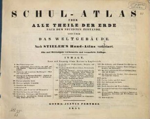
Schul-Atlas Über Alle Theile Der Erde Nach Dem Neuesten Zustande, Und Über Das Weltgebäude : Nach Stieler's Hand-Atlas verkleinert
Adolf Stieler's Handatlas Über Alle Theile Der Erde Und Über Das Weltgebäude : 95 Karten

Hand-Atlas Über Alle Theile Der Erde Und Über Das Weltgebäude : nach dem neuesten Zustande, 0
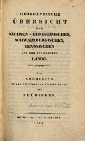
Geographische Übersicht der Sachsen-Ernestinischen, Schwarzburgischen, Reussischen und der umliegenden Lande : als Commentar zu der beiliegenden kleinen Karte von Thüringen
Handatlas Über Alle Theile Der Erde Und Über Das Weltgebäude
Hand-Atlas über alle Theile der Erde : nach dem neuesten Zustande und über das Weltgebäude
Ad. Stieler's Schul-Atlas über alle Theile der Erde und über das Weltgebäude
A. Stieler's Schul-Atlas über alle Theile der Erde und über das Weltgebäude
A. Stieler's Schul-Atlas über alle Theile der Erde und über das Weltgebäude
Hand-Atlas, [...]. Namenverzeichnis zu Stielers Hand-Atlas
Stieler's Schul-Atlas über alle Theile der Erde nach dem neuesten Zustande und über das Weltgebäude
Ad. Stieler's Schul-Atlas über alle Theile der Erde nach dem neuesten Zustande und über das Weltgebäude
Schul-Atlas Über Alle Theile Der Erde Nach Dem Neuesten Zustande, Und Über Das Weltgebäude : Nach Stieler's Hand-Atlas verkleinert
Adolf Stieler's Handatlas Über Alle Theile Der Erde Und Über Das Weltgebäude : 95 Karten
Hand-Atlas Über Alle Theile Der Erde Und Über Das Weltgebäude : nach dem neuesten Zustande, 0