Luftbildpläne
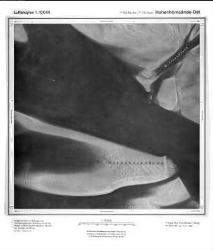
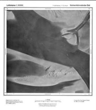
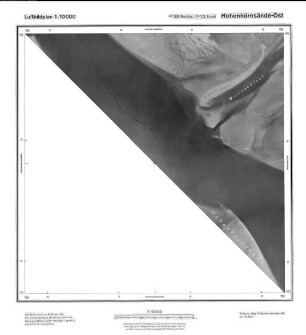
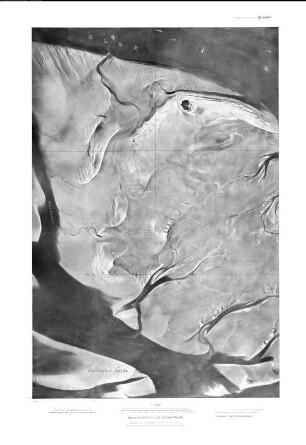
Hohenhörnsände-Ost, Gauß-Krüger-Koordinaten: Rechtswert: 3458, Hochwert: 5972
- Reference number
-
RW 0435, 2555
- Dimensions
-
Maßstab: 1:10.000
- Further information
-
Land: Schleswig-Holstein
- Context
-
Hansa Luftbild, Luftbildpläne (Luftbildkarten) 1970-1985 >> 4. Niedersachsen >> 4.6. Watten - Elbe, Weser, Jade
- Holding
-
RW 0435 Hansa Luftbild, Luftbildpläne (Luftbildkarten) 1970-1985
- Creator
-
Hersteller: Hansa Luftbild AG
- Provenance
-
Hansa Luftbild
- Date of creation
-
12.06.1975
- Other object pages
- Delivered via
- Last update
-
07.03.2025, 10:04 AM CET
Data provider
This object is provided by:
Landesarchiv Nordrhein-Westfalen. Abteilung Rheinland. If you have any questions about the object, please contact the data provider.
Landesarchiv Nordrhein-Westfalen. Abteilung Rheinland. If you have any questions about the object, please contact the data provider.
Object type
- Luftbildpläne
Associated
- Hersteller: Hansa Luftbild AG
- Hansa Luftbild
Time of origin
- 12.06.1975
Other Objects (12)
Hohenhörnsände Ost, Gauß-Krüger-Koordinaten: Rechtswert: 3458, Hochwert: 5972
Hohenhörnsände Ost, Gauß-Krüger-Koordinaten: Rechtswert: 3458, Hochwert: 5972
Hohenhörnsände-Ost, Gauß-Krüger-Koordinaten: Rechtswert: 3458, Hochwert: 5972
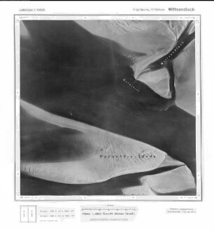
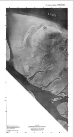
Wittsandloch, Gauß-Krüger-Koordinaten: Rechtswert: 3458, Hochwert: 5972
Scharhörn, Gauß-Krüger-Koordinaten: Rechtswert: 3458, Hochwert: 5972
Scharhörn, Gauß-Krüger-Koordinaten: Rechtswert: 3458, Hochwert: 5972
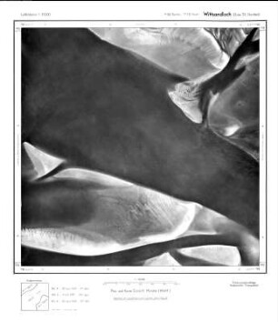
Wittsandloch, Gauß-Krüger-Koordinaten: Rechtswert: 3458, Hochwert: 5972
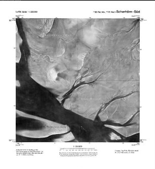
Scharhörn Süd, Gauß-Krüger-Koordinaten: Rechtswert: 3458, Hochwert: 5972
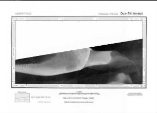
Oster - Till, Nordteil, Gauß-Krüger-Koordinaten: Rechtswert: 3458, Hochwert: 5972
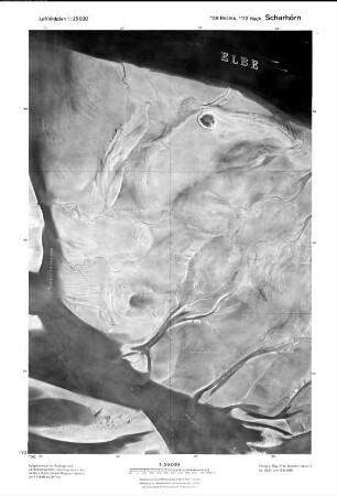
Scharhörn (Neuwerk-Scharhörn, Blatt 5), Gauß-Krüger-Koordinaten: Rechtswert: 3458, Hochwert: 5972

Hohenhörnsände Ost, Gauß-Krüger-Koordinaten: Rechtswert: 3460, Hochwert: 5972

Brunsbüttelkoog-Ost, Gauß-Krüger-Koordinaten: Rechtswert: 3510, Hochwert: 5972
Hohenhörnsände Ost, Gauß-Krüger-Koordinaten: Rechtswert: 3458, Hochwert: 5972
Hohenhörnsände Ost, Gauß-Krüger-Koordinaten: Rechtswert: 3458, Hochwert: 5972
Hohenhörnsände-Ost, Gauß-Krüger-Koordinaten: Rechtswert: 3458, Hochwert: 5972
Wittsandloch, Gauß-Krüger-Koordinaten: Rechtswert: 3458, Hochwert: 5972
Scharhörn, Gauß-Krüger-Koordinaten: Rechtswert: 3458, Hochwert: 5972
Scharhörn, Gauß-Krüger-Koordinaten: Rechtswert: 3458, Hochwert: 5972
Wittsandloch, Gauß-Krüger-Koordinaten: Rechtswert: 3458, Hochwert: 5972
Scharhörn Süd, Gauß-Krüger-Koordinaten: Rechtswert: 3458, Hochwert: 5972
Oster - Till, Nordteil, Gauß-Krüger-Koordinaten: Rechtswert: 3458, Hochwert: 5972
Scharhörn (Neuwerk-Scharhörn, Blatt 5), Gauß-Krüger-Koordinaten: Rechtswert: 3458, Hochwert: 5972
Hohenhörnsände Ost, Gauß-Krüger-Koordinaten: Rechtswert: 3460, Hochwert: 5972