Karten und Pläne
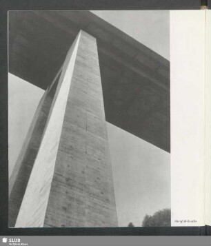
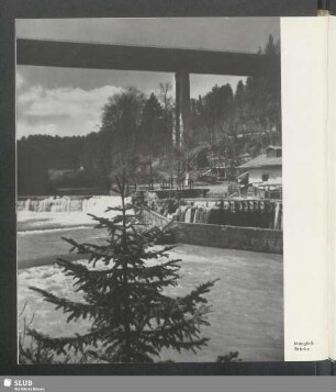
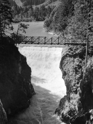
Mangfall
Enthält: Plan über den Verlauf der Mangfall von der Aiblinger Brücke bis zum Einfluss in den Inn, koloriert
- Reference number
-
GDion BHS KuPl, BayHStA, GDion BHS KuPl 922
- Notes
-
besonders großer und schöner Plan
- Further information
-
Medium: A = Analoges Archivalie
Zugangsnummer: 18
- Context
-
GDion BHS KuPl 2: Karten und Pläne bis 1927 (Abgaben 2012/2014) >> 11. Saline Rosenheim >> 11.3 Salinengelände
- Holding
-
GDion BHS KuPl 2: Karten und Pläne bis 1927 (Abgaben 2012/2014)
- Indexentry place
-
Mangfall (Fluss)
- Date of creation
-
nach 1810
- Other object pages
- Last update
-
03.04.2025, 1:38 PM CEST
Data provider
This object is provided by:
Bayerisches Hauptstaatsarchiv. If you have any questions about the object, please contact the data provider.
Bayerisches Hauptstaatsarchiv. If you have any questions about the object, please contact the data provider.
Object type
- Karten und Pläne
Time of origin
- nach 1810
Other Objects (12)

Mangfall
Landschaftsschutzgebiet Grünflächen entlang der Mangfall in der Gemarkung Rosenheim
Mangfall-Brücke
Mangfall - Brücke
Leitzach und Mangfall
Distrikts-Mangfall-Brückenbaufonds Rechnungen
Lech, Mangfall bei Füssen/Lech
Corbin Hackinger, Bruckmühl a. Mangfall
Korrektion der Mangfall bei Aibling
Mangfall-Stauanlagen südlich Aibling (3000 m)
Herrenmühlwehr a. d. Mangfall, b. Thalham
Wasserbau an der Mangfall, Gde. Götting
Mangfall
Landschaftsschutzgebiet Grünflächen entlang der Mangfall in der Gemarkung Rosenheim
Mangfall-Brücke
Mangfall - Brücke
Leitzach und Mangfall
Distrikts-Mangfall-Brückenbaufonds Rechnungen
Lech, Mangfall bei Füssen/Lech
Corbin Hackinger, Bruckmühl a. Mangfall
Korrektion der Mangfall bei Aibling
Mangfall-Stauanlagen südlich Aibling (3000 m)
Herrenmühlwehr a. d. Mangfall, b. Thalham