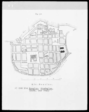
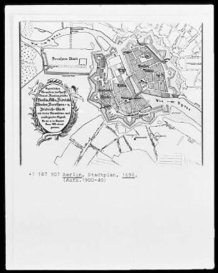
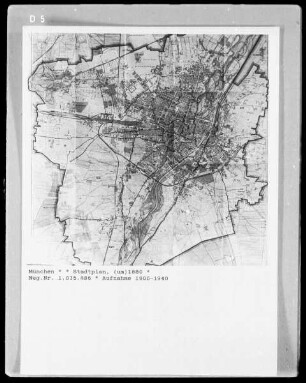
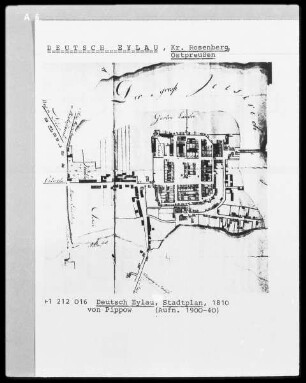
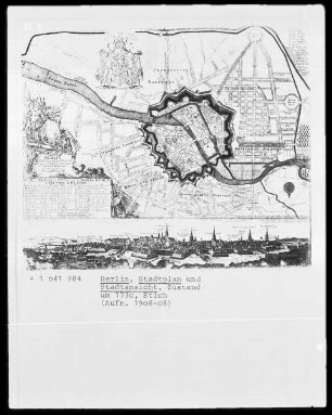
Stadtplan
Stadtplan von Tsingtau aus der Vogelperspektive mit Bezeichnung von Straßen, Gebäuden, Buchten und Schiffen handschriftlich in deutscher Schrift
- Location
-
Deutsches Historisches Museum, Berlin
- Inventory number
-
Do 97/280
- Measurements
-
Höhe x Breite: 81 x 133,5 cm (Wandkarte)
- Material/Technique
-
Wandkarte: Tusche, Aquarellfarbe, Leinen, gezeichnet, aquarelliert, handgeschrieben
- Classification
-
Kartografie (Gattung)
- Subject (what)
-
Imperialismus
Kolonie
Kolonialismus
China
Tsingtau
- Event
-
Herstellung
- (where)
-
Qingdao [historisch: Tsingtau], China [historisch: Deutsches Reich]
- (when)
-
um 1909
- Rights
-
Deutsches Historisches Museum
- Last update
-
24.03.2023, 9:28 AM CET
Data provider
This object is provided by:
Stiftung Deutsches Historisches Museum. If you have any questions about the object, please contact the data provider.
Stiftung Deutsches Historisches Museum. If you have any questions about the object, please contact the data provider.
Object type
- Stadtplan
Time of origin
- um 1909
Other Objects (12)

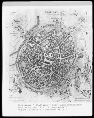
Nördlingen aus der Vogelperspektive
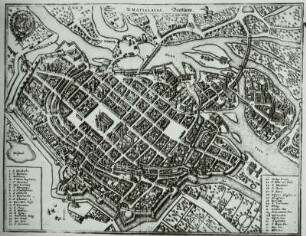
Nördlingen aus der Vogelperspektive
Nördlingen aus der Vogelperspektive

Stadtplan Mainz : amtlicher Stadtplan
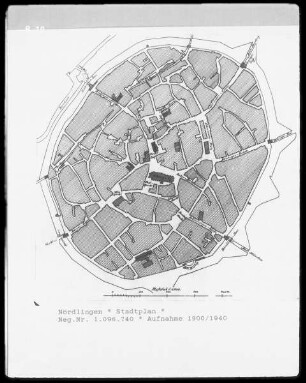
Stadtplan
Stadtplan
Stadtplan
Stadtplan
Stadtplan
Stadtplan
Stadtplan
Stadtplan
Nördlingen aus der Vogelperspektive
Nördlingen aus der Vogelperspektive
Nördlingen aus der Vogelperspektive
Stadtplan Mainz : amtlicher Stadtplan
Stadtplan
Stadtplan
Stadtplan
Stadtplan
Stadtplan
Stadtplan
Stadtplan
Stadtplan
Nördlingen aus der Vogelperspektive
Nördlingen aus der Vogelperspektive
Nördlingen aus der Vogelperspektive
Stadtplan Mainz : amtlicher Stadtplan
Stadtplan
Stadtplan
Stadtplan
Stadtplan
Stadtplan
Stadtplan
Stadtplan